Special Use Airspace on FAA Sectional Charts
In this lesson, we’ll break down the various zones you might encounter, including Warning Areas, Alert Areas, Restricted Areas, Prohibited Areas, Military Training Routes, and Military Operations Areas.
By learning how to identify these airspaces—distinguished by specific markings and letters on the charts—you’ll be better equipped to plan for safe and compliant flights, whether you’re dodging military exercises over water or avoiding high-security zones.
No Permission Needed
However, make sure you exercise extreme caution!
Warning Areas
Flight without approval is allowed. Unlike Restricted Areas, Warning Areas do not completely prohibit drone flights, but they indicate potential hazards requiring extra caution.
Definition:
Airspace with defined dimensions that extends three nautical miles from the U.S. coast and contains activity that may be hazardous to nonparticipating aircraft
Regulations:
While sUAS flight is not legally banned, they’re urged to stay alert and be careful flying through Warning Areas because of possible dangers from ongoing activities.
Appearance on Sectional Chart:
Blue hashed line with the letter W followed by a number.

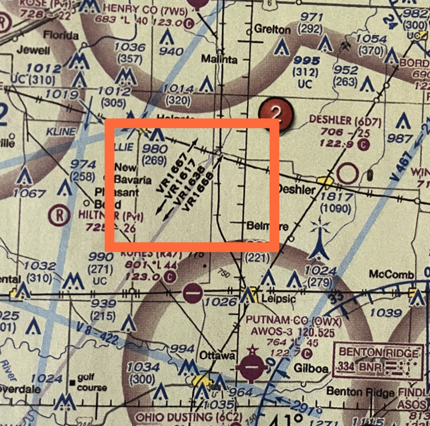
Military Operations Area
Definition:
A Military Training Area is a designated airspace where the military conducts training exercises such as air combat tactics, formation training, and low-altitude tactics.
Regulations:
It’s a zone where pilots and drone operators need to be extremely cautious and check for active MOA times and MOA guidelines such as altitude requirements.
Consider a different route or avoiding the MOA completely to help keep drone flights safe and prevent any issues with manned aircraft in that area.
Where to find MOA Details:
MOAs listed on the border of sectional charts, detailing its name, operating altitude, time of use, radio frequency, and the controlling/contact facility overseeing the MOA.
Appearance on Sectional Chart:
Magenta hashed line with the name of the MOA.

Alert Areas
Definition:
Alert areas are established to inform nonparticipating pilots of areas that contain a high volume of pilot training operations, or an unusual type of aeronautical activity (such as parachute jumping or aerial events), that they might not otherwise expect to encounter.
Regulations:
Pilots do not need permission to fly in Alert areas, and are advised to alert when flying in these areas.
Appearance on Sectional Chart:
Magenta hashed line with the letter A followed by a number (i.e. A-292)

Permission Required
Don’t fly here without authorization
Restricted Areas: artillery firing, aerial gunnery, or guided missiles
Definition:
Airspace where aircraft flight is subject to restrictions, but not entirely prohibited when pilots have permission.
Restricted areas are designated to confine activities that are considered hazardous to nonparticipating aircraft. These areas may denote hazards such as: artillery firing, aerial gunnery, and guided missiles. There is a high volume of pilot training or unusual type of dangerous aerial activity.
Regulations:
Drone pilots must get permission from the controlling agency to fly through a Restricted Areas. If they do, pilots must follow the rules for each area.
Appearance on Sectional Chart:
Blue hashed line with the letter R followed by a number.

Prohibited Areas
Definition:
Prohibited Areas are airspace where aircraft cannot operate without the permission of the using agency. These areas are designated to prevent flight over an area on the surface for national security reasons. They usually protect places like military bases, government spots, or other high-security sites.
Regulations:
Entry into these areas is strictly controlled and usually requires special permission from the controlling authority.
Appearance on Sectional Chart:
Blue circle with the letter P followed by a number.