Section 3 . Lesson 5 of 12

Hazards and Features on Sectional Charts

Essential Pre-Flight Planning Steps

    Before every flight, solid flight planning starts with a good look at sectional charts. You’ll need to scout out key details to keep your operation safe and smooth. This might mean spotting caution boxes for glider activity, noting max altitudes in areas like mountain ranges, or avoiding surprises like tethered weather balloons.

    Let’s break down the must-know elements to check before you head out.
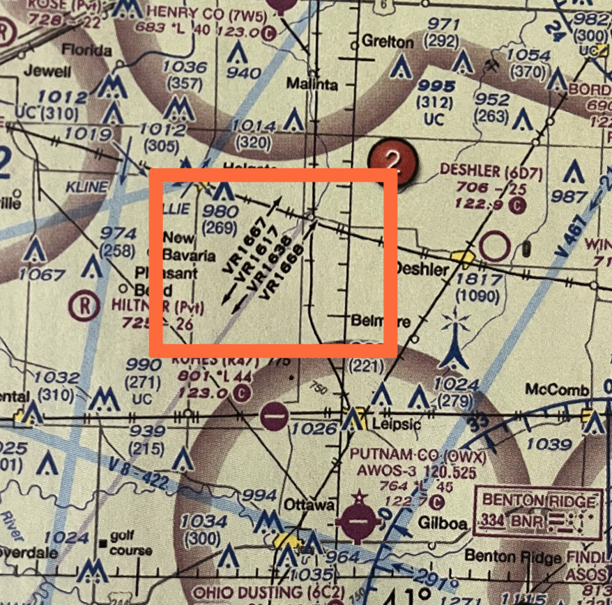
    On the Part 107 exam, you’ll encounter images of sectional charts and be asked to identify potential hazards and geographical features that could impact your flight. For example, recognizing symbols for lighted obstacles, glider activity, or rugged terrain. Pay attention to how these are displayed on the FAA sectional chart images below so you now what to look for.

    Landmarks and Notifications

    Check Notification Boxes:
    Prepare for Any Important Information Specific to The Area

      These provide highly important details that could impact your flight, like temporary flight restrictions (TFRs) or special activities (parachuting, aerial events). Remember, accidents can happen, including a fly away rogue drone you wouldn’t want going anywhere near a glider.

      Notice in the example below there are 2 notification boxes. One explains intensive glider activity up to 180 feet AGL, something you absolutely would want to avoid as a drone pilot.

      The other is more of a geographical fact that you’d want to know: That within a 50 mile radius of Reno Nevada there is an anomaly of a magnetic disturbance, and your compass may not be accurate at low altitude. This is something you’d likely only if you checked the sectional chart for the area.

      Check VFR Checkpoints:
      Expect High Levels of Manned Aircraft

        A VFR (Visual Flight Rules) checkpoint is a designated location on the ground that helps pilots navigate from the sky, often near busy airspace like airports or congested flight paths. These checkpoints are marked by a magenta flag on a sectional chart, and they’re typically used by manned aircraft to ensure they stay on course during visual flight.

        Now, as a drone pilot, you might wonder why you’d care about a VFR checkpoint, especially since they’re meant for manned aircraft. Well, the key is that these checkpoints are often located in high-traffic areas, where planes are flying visually, meaning you’ll likely encounter more aircraft.

        Knowing where these checkpoints are can help you steer clear of busy flight paths and avoid any potential run-ins with manned aircraft. It’s smart to be aware of where these checkpoints are located—especially if you’re flying near airports or in controlled airspace. It keeps your flight safe and helps you plan accordingly.

        Geographic Features

        Isogonic Lines

        Check Isogonic Lines:
        Make Sure Your Compass is Calibrated

          Isogonic lines are lines drawn on maps that show areas of equal magnetic declination. Magnetic declination is the difference between the direction of magnetic north (which your compass points to) and true north (the geographic North Pole). Since the Earth’s magnetic field isn’t uniform everywhere, the declination changes depending on where you are. Isogonic lines show you areas where the magnetic declination is the same, helping pilots and navigators understand how much their compass will differ from true north.

          Now, here’s where it gets interesting: the scientist who discovered these lines was Halley, as in Edmond Halley—yes, the same guy who gave his name to Halley’s Comet. Back in the late 1600s, Halley was one of the first to notice that magnetic declination was different depending on where you were on Earth. He studied this and plotted the lines of equal declination, eventually making them part of navigational maps to help people with compass readings.

          Why are these lines on maps today? Well, back in the days of sailors and early aviators, knowing the magnetic declination was critical for navigating accurately, especially when using compasses. By marking isogonic lines on maps, navigators could easily adjust their course to account for the magnetic deviation in different regions. Today, it’s still useful for pilots, drone operators, and anyone using magnetic navigation tools.

          MEFs

          Check Maximum Elevation Figures
          Prepare for Terrain, Max Elevation, and Obstacles Ahead

            Maximum Elevation Figures (MEFs) on a sectional chart are the highest elevations of terrain and obstacles (like towers or buildings) within a specific area, rounded up to the next hundred feet. They are shown in feet above sea level and are marked in areas between contour lines. These figures give pilots and drone operators a heads-up about the highest point they could potentially fly over in that area.

            For drone pilots, MEFs matter because they help you avoid crashing into tall objects or terrain. If you’re flying in an area with a mountain range, for instance, knowing the MEF will tell you the highest point to be aware of. This is especially important for drone operators since, unlike manned aircraft, drones don’t usually have the same altitude clearance, and even a slight error in altitude could result in a collision with an obstacle.

            And remember, from Section 1 of this course, if you crash your drone, you must report it to the FAA within 10 days! 😉

            Aerial Activities

            Gliders & Parachutes

            Check for Parachute Jumping Areas
            Parachute and Glider Zones: Know Before You Fly

              Parachute jumping and glider operations are marked on sectional charts with easy-to-spot symbols.

              • Parachute Jumping Areas: Shown with a parachute symbol, these areas may include notes like drop zone names or general altitude ranges.
              • Glider Operations: Represented by a glider symbol, indicating areas with regular soaring activity or glider ports.

              However, the sectional chart provides only basic info. For more details, including times and schedules, pilots should check the Chart Supplement, which includes:

              • Exact locations, altitudes, and times for parachute zones.
              • Communication frequencies for coordinating with airfield staff.

              Above: Use Sectional Chart to spot locations

              Above: Use Chart Supplement for Detailed Parachute / Glider Info

              Structures & Obstructions

              Weather Balloons

              Check for Unmarked Weather Balloons:
              Avoid Unseen Hazards

                Represent tethered weather balloons. The sectional chart legend provides their altitudes, and you must remain aware of their locations to avoid tether interference.

                Towers

                Towers: Individual, Grouped, and Lighted
                Know Their Location and Height

                  Marked with symbols indicating heights (AGL and MSL) and lighting status for visibility. Grouped structures list the tallest point.

                  We’ll go over these in another section in a more detailed manner.

                  Practice Quiz

                  Visual Reference Points

                  You need to add questions

                  Your score is

                  The average score is 0%

                  0%

                  e

                  3. What precautions should a drone operator take when flying near a designated MOA?

                  A. No specific precautions are required for drone operators near MOAs.

                  B. Notify the nearest air traffic control tower and proceed with the flight as planned.

                  C. Exercise extreme caution, check for active MOA times, and consider alternative routes or avoiding the area.

                  Correct Answer: C. Exercise extreme caution, check for active MOA times, and consider alternative routes or avoiding the area.

                  Description: When flying near a designated Military Operating Area (MOA), drone operators should exercise extreme caution. It is essential to check for active MOA times, as military aircraft activities may pose risks to drone operations. Considering alternative routes or avoiding the MOA altogether enhances the safety of both drone operations and manned aircraft within the designated area.

                  What regulations govern the operation of drones in or near Military Operating Areas (MOAs)?

                  A. There are no specific regulations for drone operations near MOAs.

                  B. Part 107 regulations do not apply in MOAs; only military guidelines are relevant.

                  C. Part 107 regulations apply, and drone pilots must comply with airspace restrictions and obtain necessary authorizations.

                  Correct Answer:
                  C. Part 107 regulations apply, and drone pilots must comply with airspace restrictions and obtain necessary authorizations.

                  Description:
                  Drone operations in or near Military Operating Areas (MOAs) are governed by Part 107 regulations. Drone pilots must comply with airspace restrictions, be aware of MOA operating hours, and obtain necessary authorizations from controlling agencies when required. Adhering to Part 107 regulations ensures safe and lawful drone operations within MOA airspace.

                  Click image to expand

                  (Refer to Figure 59, area 2) The chart shows a gray line with “VR1667, VR1617, VR1638, and VR 1668.” Could this area present a hazard to the operations of a small UA?

                  A. No, all operations will be above 400 feet
                  B. Yes, this is a Military Training Route from 1,500 feet AGL
                  C. Yes, the defined route provides traffic separation to manned aircraft.

                  Answer: B. Yes, this is a Military Training Route from 1,500 feet AGL.

                  Description:
                  It is important to understand this because low-flying military helicoptors may be flying this route, often at 400 feet or below.

                  VRs vs IRs:
                  > MTRs with no segment above 1,500 ft AGL must be identified by four numbers (i.e. IR1206, VR1207)
                  > MTRs that include one or more segments above 1,500 ft AGL must be identified by three numbers (i.e. IR206, VR207).

                  Click image to expand

                  (Refer to Figure 21) You have been hired by a farmer to use your small UA to inspect her crops. The area that you are to survey is the Devil’s Lake West MOA, east of area 2. How would you find out if the MOA is active?

                  A. Refer to the Sectional Chart legend on the border of the chart

                  B. This information is available in the Small UAS database

                  C. In the Military Operation Directory

                  Answer: A

                  Explanation:
An MOA, or Military Operating Area, details can be located on the sectional chart’s border, providing information such as the MOA’s name, operating altitude, time of use, radio frequency, and the controlling/contact facility overseeing the MOA.

                  Watch out for these tricks too. Answers B and C are not possible because there is no such thing as either.

                  • Small UAS database – There is no such thing.
                  • Military Operation Directory – There is no such thing.

                  How might the presence of an active MOA impact a drone pilot’s decision-making regarding altitude and route planning?

                  A. The drone can fly at any altitude since MOAs are exclusively for manned aircraft.
                  B. The drone should maintain the maximum allowed altitude as specified in Part 107 regulations.
                  C. The drone should avoid the MOA or fly at an altitude specified in the sectional chart and exercise caution.

                  Correct Answer: C. The drone should avoid the MOA or fly at an altitude specified in the sectional chart and exercise caution.

                  Description: When there is an active Military Operating Area (MOA), drone pilots should avoid the area if possible. If it is necessary to fly within or near an MOA, the drone should operate at an altitude specified on the sectional chart. Additionally, exercising caution and being aware of potential military aircraft activities is crucial for ensuring safe drone operations in the vicinity of MOAs.