Introduction
Every sUAS mission starts with understanding the environment you’re flying into, and a big part of that is knowing the type of air you’ll encounter—stable or unstable.
These two air conditions can make or break how smooth your flight goes and how your drone performs.
Stable air tends to be calm and predictable, perfect for precise operations, while unstable air is a wild card, with turbulence and sudden updrafts that can throw your drone off balance.
By recognizing the signs of each—both when planning and once you’re out in the field—you can adapt your flight strategy and avoid unnecessary risks. This knowledge helps you to read the sky and stay ahead of what the air throws your way.
Exam Prep
On the Part 107 exam, you’ll encounter images of sectional charts and be asked to identify all kinds of information
The Role of Convection Currents in Air Stability
Overview
We learned in the previous lesson that the behavior of air in response to the convection currents caused by the uneven heating of the Earth’s surface is responsible for shaping the planet’s weather conditions.
Air can generally be classified into two categories: stable and unstable air.
- Stable air is characterized with calm, clear skies and minimal turbulence.
- Unstable air, on the other hand is characterized by cloud formation, thunderstorms, and turbulence.
Four Defining Factors
Four key factors that define stable and unstable air: cloud formation, precipitation, turbulence, and visibility. These factors determine how air behaves and how weather conditions affect flight.
- Cloud Formation: Depends on vertical air movement. Strong updrafts create tall cumulonimbus clouds, often leading to thunderstorms, while weaker updrafts form stratiform clouds, which bring light, steady precipitation.
- Precipitation: Intensity and duration of precipitation, from light rain in stable air to intense showers and thunderstorms in unstable air.
- Turbulence: Turbulence happens when vertical air movement, driven by updrafts and downdrafts, causes unpredictable shifts in the air. Stronger convection currents lead to rougher conditions, while minimal vertical movement results in calmer air.
- Visibility: The amount of vertical mixing in the air, driven by updrafts and downdrafts, determines visibility. When there’s limited mixing, pollutants and particles remain near the surface, reducing visibility. When vertical mixing increases, pollutants and particles are dispersed, leading to improved visibility.
Stable Air
4 Key Characteristics
Poor Visibility
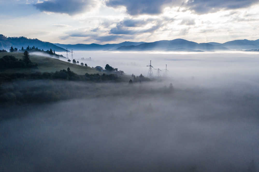
Stable air leads to poor visibility because there’s little upward air movement to disperse smoke, dust, or particles.
These contaminants stay near the surface, creating haze or fog, and making it harder to see clearly. With less vertical mixing, pollutants are trapped, significantly reducing visibility.
Steady Precipitation & Stratiform Clouds
Stable air masses typically lead to light, steady, continuous precipitation.
This is due to the gradual ascent of warm, moist air, which forms stratiform clouds—wide, horizontally developed clouds, which are known for releasing light, steady, continuous precipitation.
These clouds produce consistent precipitation, such as light rain or snow, often lasting over extended periods without sudden changes.

Smooth, Steady, Calm Air
In stable air, the lack of significant vertical air movement results in smooth, steady, calm air conditions. Turbulence is minimal, and flights are smooth with fewer changes in altitude or direction, which makes stable air favorable for drone operations and aircraft flight.
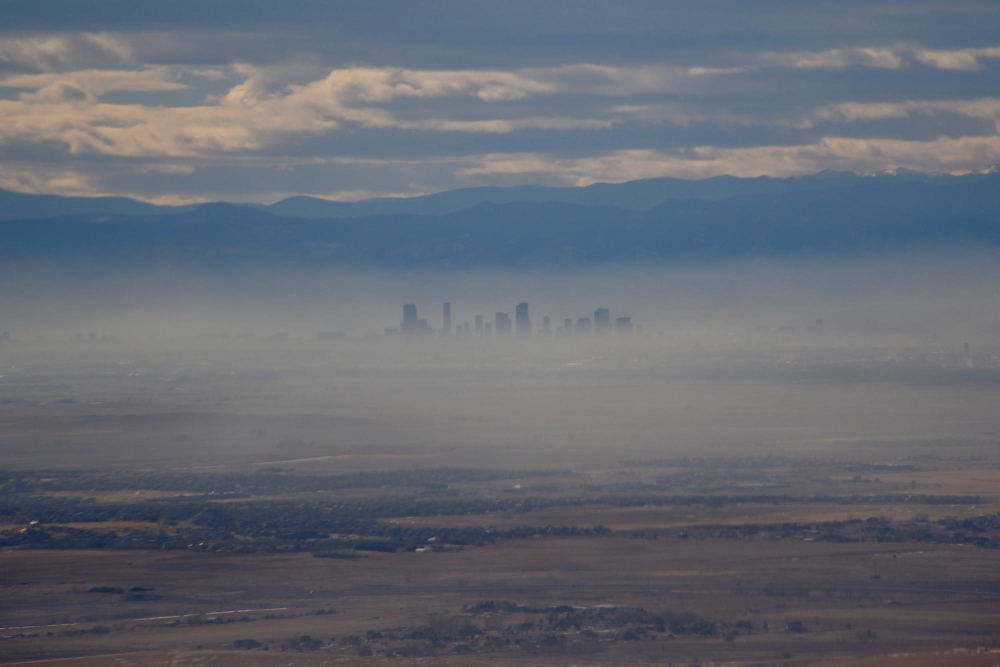
How Stable Air Traps Haze in Denver
In Denver, stable air traps haze in the metro area, especially during winter. The surrounding mountains block air movement, causing cold air to settle in valleys while warmer air above creates a temperature inversion. This inversion traps pollutants like smoke and dust near the ground, reducing visibility. The haze can linger for days due to the lack of vertical air movement.
Unstable Air
4 Key Characteristics
Good Visibility
In contrast, unstable air provides better visibility.
Vertical mixing disperses pollutants like haze and smog, keeping the air clearer by carrying it away from the ground. This mixing helps prevent contaminants from accumulating near the surface, allowing for better air quality and visibility during flight operations.
Therefore, unstable air conditions often result in improved visibility due to the effective dispersion of airborne particles and pollutants.
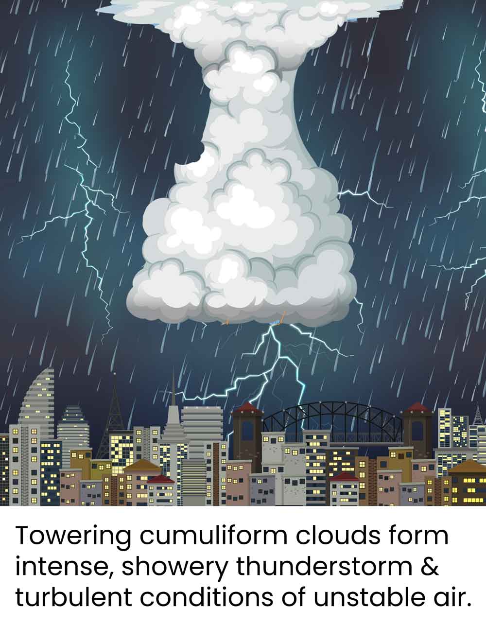
Showery Intense Precipitation & Cumuliform Clouds
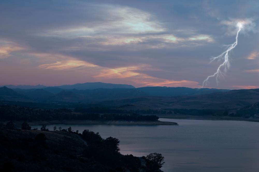
Unstable air is more likely to cause intense, showery, short-lived precipitation.
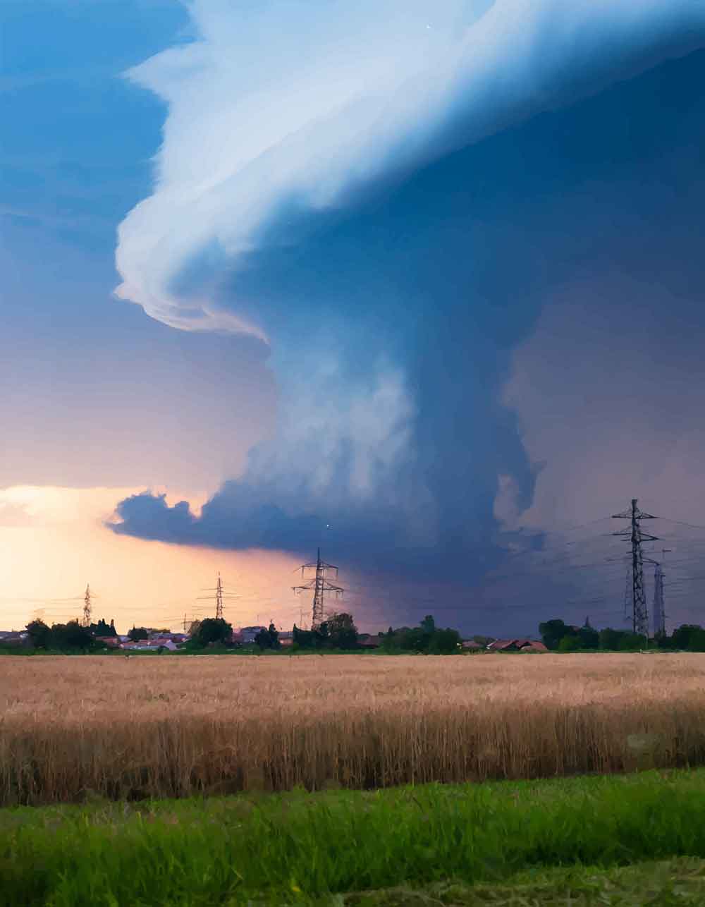
Rapidly rising warm air leads to the development of cumuliform and cumulonimbus clouds, which are sharp and towering in shape.
These clouds produce more intense and localized precipitation, including heavy rain, hail, and thunderstorms. Unstable conditions can lead to dangerous weather phenomena like tornadoes in extreme cases.
Turbulent, Vertical Moving Air
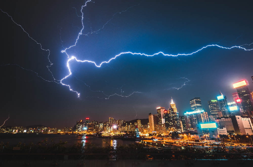
Unstable air creates significant turbulence due to strong updrafts and downdrafts. These vertical air movements, driven by convection, can lead to dramatic shifts in altitude and direction, making flying in unstable conditions challenging.
Drones and aircraft may experience rough air, increasing the likelihood of flight instability and the potential for severe weather like thunderstorms and wind shear.
How Unstable Air Fuels Coastal Thunderstorms in Miami
Coastal thunderstorms in Miami, Florida, often happen due to unstable air. Here’s how it works:
Miami’s location near the warm Atlantic Ocean creates perfect conditions for unstable air. During the day, the sun heats the land and ocean, warming the air near the surface. This warm, moist air rises quickly, forming cumulus clouds that can grow into towering cumulonimbus clouds.
As these clouds develop, they can produce intense thunderstorms with heavy rain, lightning, strong winds, and sometimes hail. These storms are usually short-lived but powerful, driven by the warm, unstable air
Comparison Chart
| Aspect | Stable Air | Unstable Air |
|---|---|---|
| Clouds | Stratiform clouds (wide, horizontal). | Cumuliform clouds (towering, vertical). |
| Precipitation | Light, steady, continuous (rain or snow).. | Showery precipitation – Intense, short-lived showers, thunderstorms.. |
| Turbulence | Minimal turbulence – Minimal vertical movement of air. | High levels of turbulence and gusts – Strong vertical movement (updrafts and downdrafts). |
| Visibility |
Poor visibility due to trapped particles. |
Good visibility due to vertical mixing. |
Flash Cards
Steady Precipitation?
Unstable or Stable?Stable Air
Steady, continuous precipitation occurs in stable air due to the steady, gentle ascent of air masses over a broad region and a lack of strong vertical currents.
Good Visibility?
Unstable or Stable?Unstable Air
In unstable air, strong convective currents continuously mix the air, preventing pollutants and haze from accumulating near the surface.
Showery Precipitation?
Unstable or Stable?Unstable Air
Unstable air typically results in showery precipitation, meaning intense and localized showers.
Cumuliform Clouds?
Unstable or Stable?Unstable Air
Unstable air is characterized by rapid upward movement of warm, moist air, leading to the formation of cumuliform clouds.Stratiform Clouds?
Unstable or Stable?Stable Air
Stable air features the steady, gentle ascent of air masses over a broad region, leading to the formation of stratiform clouds.Poor Visibility?
Unstable or Stable?Stable Air
Stable air results in poor visibility due to the absence of upward air movement, which lifts smoke, dust and particles away from the ground.

