Introduction

Conducting site surveys and planning for emergencies both fall under the broader umbrella of Crew Resource Management (CRM), but more specifically, they support Risk Management and Situational Awareness
- Risk Management:
- Site surveys help you identify and mitigate potential hazards before the flight starts.
- Emergency planning ensures you’ve already thought through how to handle threats if they occur, reducing the impact of unexpected events.
- Situational Awareness:
- Both tasks require you to be fully aware of the environment—terrain, obstacles, weather, and other real-time factors that affect your ability to fly safely.
So, in the context of CRM, site surveys and emergency planning are the preventative tools that give you the clarity and control to make good decisions when it matters.
How to Conduct
Site Surveys
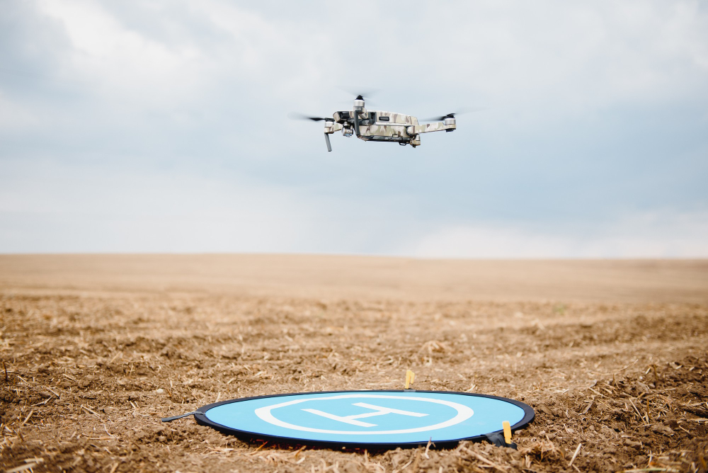
Before your drone ever leaves the ground, a solid site survey sets the stage for a safe flight. Think of it like scouting the terrain—you’re looking for anything that could cause problems once you’re airborne.
This proactive step allows you to plan safe flight paths and designate emergency landing zones, so you’re prepared for any challenges that may arise during your operation.
Scan for hazards like power lines, trees, tall buildings, and anything unexpected in the area. Check the weather, wind direction, and lighting conditions. The goal is to know the lay of the land so there are no surprises once you’re in the sky.
Site Survey Checklist Examples
Here are a few key items to include in your preflight checklist when conducting site surveys.
-
Hazard Identification:
Identify local hazards like towers, power lines, trees, and structures to ensure a clear operational space. -
Emergency Landing Zones:
Identify potential and safe emergency landing zones in case of unexpected malfunctions or emergencies during the flight. -
Weather Conditions Review:
Evaluate current weather conditions to and avoid unexpected changes. -
Bystander Awareness Check:
Assess non-participatory bystanders who may be unaware of the activity, potentially becoming distracted or alarmed. -
Traffic Pattern Analysis:
Observe traffic patterns to safeguard vehicles that might be impacted by the operation. -
Radio Signal Check:
Check for potential radio interference that could affect communication signals between the remote controller and the aircraft.
Site Surveys | In-The-Field
You’re out in a forested wetland to collect aerial data for a citizen science project tracking seasonal changes in vegetation. During your site survey…
- You spot a tall communication tower just outside the planned flight zone and realize that intermittent GPS interference could affect your mapping accuracy.
- You also notice a nesting area for birds nearby and decide to adjust your flight path to avoid disturbing the wildlife.
- Identifying a clear emergency landing zone along the trailhead gives you peace of mind in case anything goes wrong.
This quick site survey makes sure your drone captures the right data without disrupting the ecosystem you’re there to help study.
Avoiding Obstacle Hazards
Incorporating these hazards into your site surveys is crucial. Here’s how each of these elements can create obstacles for sUAS flight.
Towers
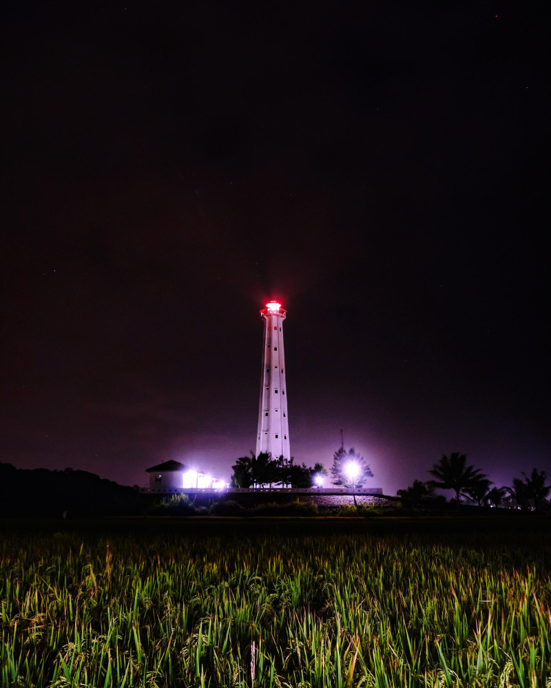
Tall structures such as radio, cell, or television towers pose a collision risk, especially during low-altitude flight operations. Their locations and heights are marked on sectional charts, which are essential tools provided by the FAA for identifying airspace features, obstacles, and potential hazards before a flight.
Power Lines and Guy Wires
These are thin cables used to stabilize towers and other tall structures. While often difficult to spot visually, they extend outward from towers and can be just as dangerous as the towers themselves. Sectional charts may note their presence, but their actual positions require extra vigilance when out in the field.

Smoke Plumes
While not typically marked on sectional charts, smoke plumes from fires or industrial activities can obstruct a drone’s sensors, limit visibility, and cause air turbulence, all of which could lead to loss of control or damage to the UA. Always be aware of local reports or visible plumes during operations.

Planning for Flight Emergencies
As a Remote PIC, you need to have a game plan in place if and when things go sideways. Whether your UA experiences a lost link or the weather turns stormy, knowing what to do in an emergency can save the day.
Things can go sideways fast—signal loss, weather shifts, unexpected obstacles. That’s why having an emergency plan isn’t optional, it’s essential.
Know in advance where you can safely land if needed, what to do if your drone disconnects, and how to handle sudden changes in the environment. When you’ve already planned for the “what ifs,” you can act fast and smart when it counts.
Responsibilities as Remote-PIC
As the Remote Pilot-in-Command (RPIC), it’s your responsibility to brief everyone involved in the operation—including clients, crew members, and ground support—on emergency procedures before the flight begins.
You should have clear, practiced protocols for handling unexpected situations such as equipment malfunctions, signal loss, or sudden weather changes.
Mandatory Landing Procedures should be part of your emergency plan. These outline the specific steps for bringing the drone down safely in a way that minimizes risk to people, property, and the aircraft. For example, if your drone’s Remote ID system fails, FAA regulations *require you to land as soon as possible* to remain compliant with operational safety standards.
Emergency Scenarios Every Drone Pilot Should Know
Loss of Orientation
Emergency: You can’t tell which direction the drone is facing, making it hard to navigate back safely—especially when it’s far away or facing you.
Emergency Procedure: Activate Return to Home (RTH) if available. If not, gently ascend to regain visual awareness and determine orientation using small directional inputs
Loss of GPS Signal
Emergency: You’re flying in an urban area or near a large metal structure, and your drone suddenly starts drifting because it can’t hold position without GPS.
Emergency Procedure: Switch to ATTI (manual) mode if you’re trained, maintain visual line-of-sight, and use slow, steady inputs to bring the drone back and land manually in a safe area.
Loss of Visual Line-of-Sight (VLOS)
Emergency: Trees, buildings, or distance block your view of the drone—you can no longer track its position visually.
Emergency Procedure: Stop movement, ascend slightly if safe, and attempt to regain visual contact. Use RTH if needed.
Fly-Away
Emergency: The drone begins moving away uncontrollably, ignoring your inputs—often due to GPS or signal failure.
Emergency Procedure: Activate RTH immediately. If unresponsive, monitor last known direction, alert any nearby air traffic if necessary, and report the incident.
Obstruction in Flight Path
Emergency: A tree, wire, or building appears in your planned flight path.
Emergency Procedure: Stop and hover. Ascend or adjust course to safely navigate around the obstacle, then reassess your route.
Power Loss
Emergency: Battery drains faster than expected or cuts out mid-flight.
Emergency Procedure: Begin an immediate descent and land in the closest safe location before the drone loses power entirely.
Emergency Recovery and Safe Landing
Regain Control, Then Land with Intention
When something goes wrong mid-flight, your first move isn’t to panic—it’s to respond. The goal is to quickly stabilize the drone and avoid immediate danger, then guide it safely to the ground.
Whether it’s sudden interference, an obstacle, or an unexpected bystander, this two-step process—emergency maneuver, then controlled landing—helps you regain control and finish the flight without causing harm to people, property, or the aircraft itself.
Step 1: Perform an Emergency Maneuver to Stabilize the Situation
Once you’ve regained control of your drone, your first priority is to stabilize it.
Depending on the nature of the emergency, you may need to perform an emergency maneuver to regain control or avoid immediate hazards.
Step 2: Perform a Controlled Landing
Once you have a clear landing area, perform a controlled landing.
Use your remote controller to slowly and steadily lower the drone to the ground, maintaining control at all times.
Emergency Landing In-The-Field
You’re out at a local high school field filming a soccer practice for a coach who wants aerial footage to study player formations and spacing. The flight is going smoothly until a group of younger kids chasing a ball unexpectedly runs into your original landing zone. As you prepare to bring the drone down, you spot them just in time.
You quickly perform an emergency maneuver—gaining altitude and repositioning the drone to hover safely overhead. Then, you scan the area and coordinate with your visual observer to clear an alternative landing spot near the edge of the field. Once it’s safe, you perform a slow, controlled descent and land the drone without issue.
Sharing the Skies: Yielding and Staying Clear
When flying, you’re sharing the air with manned aircraft—and they always have the right of way. You also need to watch out for the turbulence they can create, especially during takeoff and landing.
Let’s take a closer look:
Yield to Right of Way of Manned Aircraft
Manned aircraft always have the right of way. Always be vigilant and anticipate the movement of other aircraft or objects. Maintain a safe distance and adjust your flight path to avoid potential collisions. As a Remote PIC, it’s your responsibility to remain clear of and to yield right-of-way to all manned aircraft.
Avoid Wing Tip Vortices
Wingtip vortices are swirling air trails that drop down from large aircraft, causing turbulence. This effect is most intense during takeoff when the plane is fully loaded at its heaviest, moving slowly, and using its full power. If your drone flies close to a big plane during this time, it could get tossed around by the descending air patterns from those vortices, making the flight a lot bumpier.
Maintain a safe distance from large aircraft, especially during takeoff and landing. This helps you steer clear of the turbulent air trails they create.
Standard Yield Maneuvers
Yielding to a Manned Aircraft: You’re flying your drone over a park when you notice a small plane approaching. Since manned aircraft always have the right-of-way, you move your drone to the side and let the plane pass by safely.
Yielding to another Drone: While flying your drone to inspect a construction site, you spot another drone nearby, flying in the opposite direction. To avoid a collision, you adjust your flight path and move your drone to a different area, allowing the other drone to pass without interference.
Maintain Control of
Your Aircraft
Know Your Drone’s Control System So You Can Act Quickly

In an emergency, maintaining control of your UA is an absolute must. Whether your drone drifts due to signal interference or faces strong winds, your ability to steer it back on course or land it safely can prevent accidents and ensure a safe outcome.
Know Your Control System:
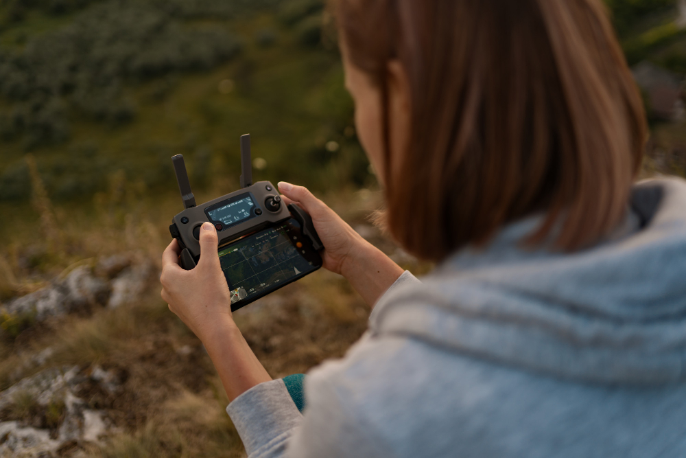
Understanding your drone’s control systems inside and out will greatly assist in this. This means knowing how to navigate the controller’s interface, responding to malfunctions, and practicing emergency maneuvers.

