Introduction
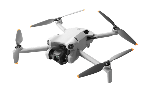
It turns out the interaction of oxygen molecules and water molecules in the air make total scientific sense. In this lesson we break down how air moisture and temperature combined influence humidity, dew, fog, and frost. Your drone is going to struggle to fly in humid air as precisely and powerfully as it’s able to dry air. Let’s take a look at why that is…
Exam Prep
On the Part 107 exam, you’ll encounter images of sectional charts and be asked to identify all kinds of information
Understanding Temperature and Dew Point
Dew point influences cloud formation, fog, and overall visibility.

Total Moisture Saturation = Air’s Dew Point
The dew point is the temperature at which the air becomes saturated with moisture. Saturation means that the air holds as much water vapor as it can.
When air cools to its dew point temperature, the water vapor in the air condenses into liquid water (dew) or, fog, clouds and precipitation.
If it the outside temperature is cold enough, the air condenses directly into frost or ice crystals.
Imagine the following 2 examples:
Dew point at 66° with outside temperature of 75°
Let’s say you are flying in an area where the dew point is 66° and the current outside temperature is 75°. If the temperature cools down to 66°, matching the dew point, the air would become fully saturated with moisture. This is the point where to dew formation could form fog.
Think about how often in the morning you’ll see and feel moisture on the grass. This is because the temperature cooled off over night and reached the dew point.
4 Ways Air Saturation Can Occur
There are four primary ways air can reach full saturation. Each way involves cooling an air mass to its dew point temperature, resulting in visible moisture such as fog.
1. Advection Fog: Warm Air Over a Cold Surface
Advection fog can form over both water and land. It occurs when warm, moist air moves horizontally over a cooler surface, causing the air to cool to its dew point and condense into fog.
Advection fog requires wind to occur.
- Over Water: Advection fog often forms when warm, moist air from the ocean moves over cooler coastal waters. This type of fog is common in coastal areas like San Francisco, where warm air from the Pacific Ocean cools over the cold waters of the bay.
- Over Land: It can also form when warm, moist air moves inland over cooler land, This can happen in regions like upstate New York or the Appalachian Mountains, where warm, moist air from the Atlantic moves inland and cools as it passes over the colder land.

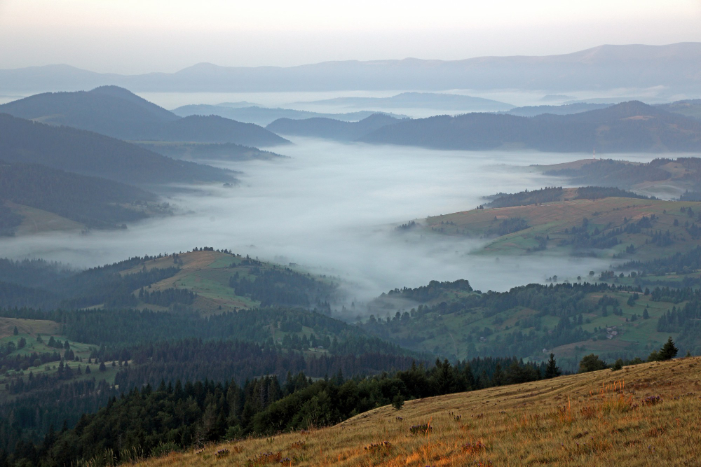
2. Radiation Fog: Rapid Ground Cooling
Radiation fog forms when the ground cools rapidly after sunset, causing the air near the surface to cool and condense into fog.
After sunset, the ground loses heat quickly causing the surface temperature to cool down rapidly. This cooling of the ground then cools the air directly above it. As the air near the surface cools, it reaches its dew point, leading to condensation and the formation of fog.
It commonly occurrs in:
- Valleys: Radiation fog often forms in valleys where cooler air collects and remains close to the ground.
- Flat Areas: It can also appear in flat, open areas with clear skies and calm winds, allowing for efficient ground cooling.
3. Steam Fog: Cold Air Mass Moves Over Warmer Water
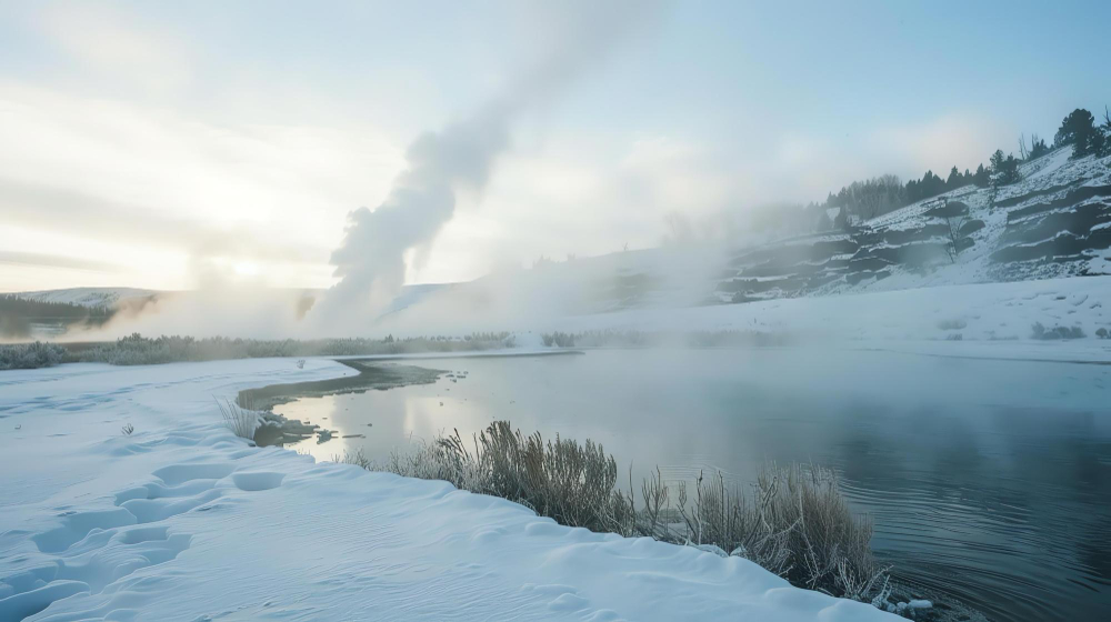
Steam fog, also known as “sea smoke,” forms when cold air moves over warmer water. Steam fog often occurs over lakes, rivers, or seas during cold weather. It’s more likely to form when the air is much colder than the water, creating the right conditions for fog to develop.
Steam fog can usually occurs in the early morning or late evening when the water is still warmer than the surrounding air.
Turbulence & Icing
The significant temperature difference between the warmer water and the colder air can create unstable atmospheric conditions. This instability can lead to turbulence as the warm, moist air rises and interacts with the colder, denser air above it.
The high moisture content in the steam fog can increase the risk of icing. If temperatures drop, this moisture can freeze onto surfaces, including aircraft, leading to dangerous ice accumulation.
4. Upslope Fog: Mountain Fog As Elevation Increases
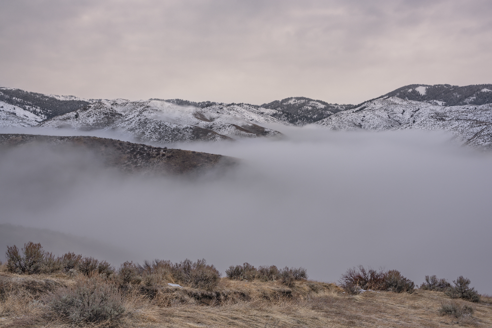
Upslope fog occurs when moist air moves up a slope or mountain and cools down, forming fog.
Upslope requires wind to occurr.
When an air mass is lifted, such as by moving up a mountain slope, it cools as it rises.
As moist air is forced to ascend a slope or mountain, the terrain carries it upwards, causing it to cool due to the lower temperatures at higher altitudes. This cooling is directly related to elevation; as the air rises, it becomes cooler. When the moist air reaches a higher elevation and cools further, it eventually reaches its dew point. At this point, the air can no longer hold all the moisture, leading to condensation and the formation of fog along the slopes or mountain. This often occurs in the Rocky Mountains.
Frost, Freezing Rain, and Structural Icing
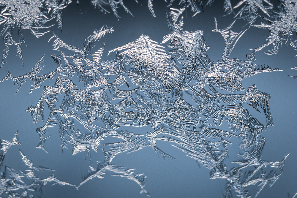
UA Frost Formation Conditions
Structural Icing:
Frost forms when the dew point is below freezing – 0° C (32 degrees Fahrenheit). If the the surface of your UA reaches below freezing temperatures, frost will form. Aircraft structural ice builds up fastest in freezing rain. For this to happen, the temperature where the moisture hits the aircraft needs to be at or below 32°F (0°C).
Imagine you’re flying your sUAS on a cold winter morning in the Midwest. The temperature is -2°C (28°F), and the dew point is also below freezing.
You can therefore expect that when you launch the drone, the propellers will quickly cool to the freezing temperature. The moist air will cause frost to form on the propellers. This will disrupt airflow, reducing lift and efficiency.
Battery Performance:
Cold temperatures can affect battery performance. LiPo batteries, commonly used in drones, may experience reduced capacity and voltage output in cold weather. Keep batteries warm before flight, and monitor their performance during flight.
Practice Quiz
Study Guide
Understanding the Impact of Humidity on Drone Flight
Keep in mind, as we explain the science behind this, that reduced air density makes it harder for drones to generate lift because the propellers have less air to push against.
When there’s less oxygen in the air, like when you’re on top of a mountain at high elevation, it becomes more difficult to breathe. Although drones don’t breathe, they struggle to fly in thin air. 😉 (lol)
Dense air provides more air molecules for the propellers to generate lift and maneuver effectively.
Let’s take a closer look at the science behind this:
1. A molecule of water vapor less more than a molecule of oxygen in the air. If there’s a lot of water moisture in the air, there is not as much oxygen in the air. This is because each water vapor molecule displaces an air molecule.
2. The more water vapor in the air (i.e. the more humid it is), the larger the ratio of lighter water molecules to heavier air molecules.
3. Therefore, when the air is less dense due to humidity, your drone’s ability to lift, maneuver, and fly effectively is decreased.
Imagine the following scenarios and consider how a decrease in oxygen molecules influences drone efficiency:
1. You’re relaxing outside on your porch and a thunderstorm is about to occur, plus the humidity level is at 70%. This humidity can make the air feel more difficult to inhale. Similar to humans struggling to operate more efficiently in high humidity due to less oxygen in the air, so do drones for that very reason.
2. You’re at the top of a high mountain 14,000 feet above sea level in Colorado, and you feel the air is incredibly thin at the top because there are less oxygen molecules the higher up in the atmosphere you go. Because the air is so thin up there due to less oxygen molecules, you struggle to breathe because you’re not getting as much oxygen. Similar to what you’re experiencing in this struggle, the reduced air density also makes it harder for drones to generate lift because the propellers have less air to push against.
A drone is happiest flying where the air is dry, which is where the air is most dense.

Understanding Temperature and Dew Point
Dew point influences cloud formation, fog, and overall visibility.
What is Dew Point?
The dew point is the temperature at which the air becomes saturated with moisture.
Saturation means that the air holds as much water vapor as it can.
When air cools to its dew point temperature, the water vapor in the air condenses into liquid water (dew) or, fog, clouds and precipitation, or if cold enough, directly into frost or ice crystals.
To illustrate, imagine the following 2 examples:
Let’s say the Dew Point is 66 degrees and the current temperature is 75 degrees in New Jersey. If the temperature dropped to 66 degrees and the dew point stays the same, the air would be fully saturated with as much water as it can hold. This is also the point where to dew formation or fog would occur.
That’s why in the morning there’s often more moisture on the grass. This is because the temperature cooled off over night and reached the dew point.
Let’s say its 32 degrees outside. If the dew point reaches 32 degrees, frost form.
Let’s consider an example:
Taking a hot shower in a closed bathroom causes steam to accumulate. As the steam fills the air, it reaches the dew point, resulting in condensation on the mirrors and walls, similar to how fog forms outdoors.
- Bathroom Air Temperature: Suppose the bathroom air temperature is around 100°F (due to the steam from the shower).
- Relative Humidity: If the bathroom becomes very humid, the relative humidity can approach 100%.
- At high relative humidity, the dew point is very close to the air temperature. In this example:
- Dew Point: The dew point would be nearly 100°F, which is why you see condensation forming on the cooler surfaces, such as mirrors and walls.
- In summary, in a hot and humid bathroom, the dew point is very close to the air temperature. When the steam from the shower fills the air, it quickly reaches the dew point, causing condensation on surfaces.
Dew Point in Action:
- Dew Point and Fog: Consider flying your sUAS in the coastal areas of the Pacific Northwest on a chilly morning. The temperature is 10 degrees Celsius, and the dew point is also 10 degrees Celsius. The air is fully saturated, leading to fog formation.
- Dew Point and Frost: Consider flying your sUAS in the Midwest on a cold winter morning. The temperature is -2 degrees Celsius (28 degrees Fahrenheit), and the dew point is also -2 degrees Celsius. The air is fully saturated, leading to frost formation. This frost reduces lift and efficiency.

