Obstacles & In-Flight Hazards
Here’s how each of these elements can present obstacles to unmanned aircraft (UA) flight:
Towers:
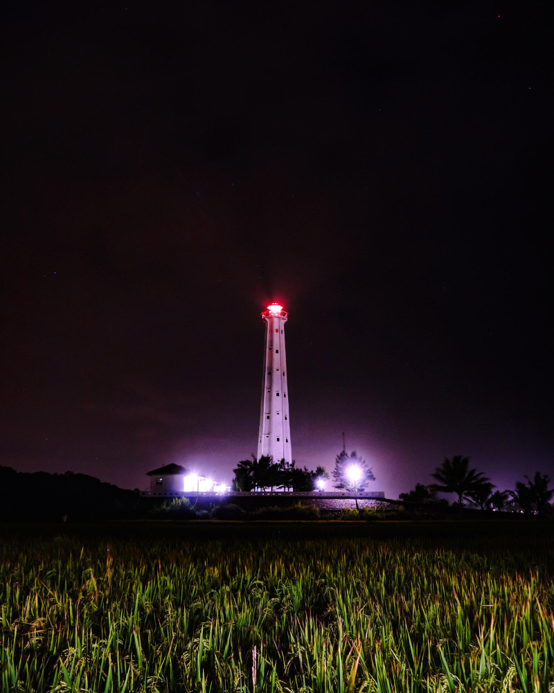
Tall structures such as radio, cell, or television towers pose a collision risk, especially during low-altitude flight operations. Their locations and heights are marked on sectional charts, and some towers exceed 400 feet AGL, making it crucial for UA pilots to be aware of them when planning missions.
Guy Wires
These are thin cables used to stabilize towers and other tall structures. While often difficult to spot visually, they extend outward from towers and can be just as dangerous as the towers themselves. Sectional charts may note their presence, but their actual positions require extra vigilance.

Aerial Activity
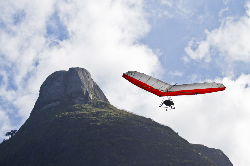
Areas with frequent aerial operations, such as helicopter zones, agricultural aircraft, or glider activity and parachute jumping present a hazard for UA pilots. These areas are indicated on sectional charts and require extra caution to avoid collisions or interference with manned aircraft.
Smoke Plumes
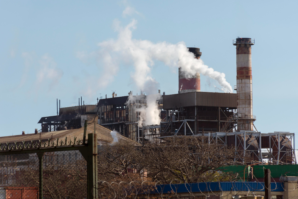
While not typically marked on sectional charts, smoke plumes from fires or industrial activities can obstruct a drone’s sensors, limit visibility, and cause air turbulence, all of which could lead to loss of control or damage to the UA. Always be aware of local reports or visible plumes during operations.
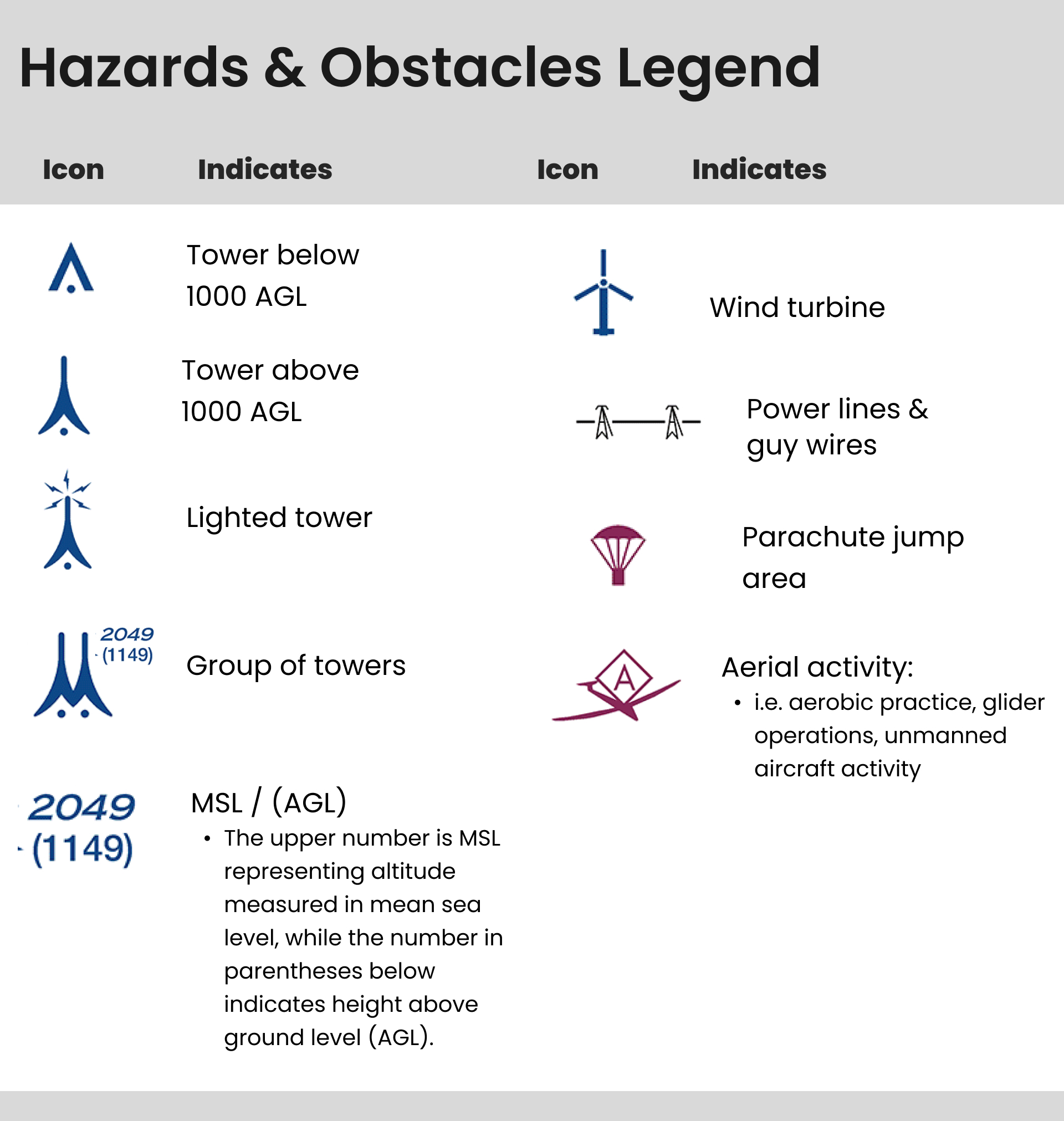
Sectional Chart Legend of Indicated Obstacles
When planning your flight missions, the sectional chart will provide essential information that helps ensure safe and efficient operations.
You’ll find key details about altitudes, airspace boundaries, and navigation aids, among other important data. As you go through your chart, keep an eye out for the following critical pieces of information to help guide your mission planning.

Subtitle:
Content


