Introduction
Flying your drone when you suddenly get caught in a fast-moving frontal zone could be a disaster, not just for your drone, but also for you if you’re not prepared. By understanding the regional air mass you’re operating in, as well as knowing how to spot the signs of a front, you’ll be keeping you and your drone in much better hands.
Exam Prep
On the Part 107 exam, you’ll encounter images of sectional charts and be asked to identify all kinds of information
Air Masses
Formation of Air Masses
Air masses originate over expansive regions with consistent characteristics, such as oceans or vast landmasses, known as source regions. These source regions shape the weather patterns associated with these air masses.
Source regions are typically flat and of uniform composition, such as deserts, oceans, ice-covered regions, and large plains. These regions allow the air mass to acquire specific temperature and humidity characteristics over the vast distance.
Airmass Classifications by Source Region
Air masses are classified based on their source regions. For example, a maritime tropical air mass is warm and humid, while a continental polar air mass is cold and dry.
- Continental: Formed over land, generally dry.
- Maritime: Formed over water, generally humid.
- Polar: Cold air masses formed near the poles.
- Tropical Warm air masses formed near the equator.
- Arctic: Extremely cold air masses formed over the Arctic.
- Antarctic: Extremely cold air masses formed over Antarctica.
sUAS Flight Safety
When considering flight safety, the stability of the air mass is the most critical characteristic for drone pilots to monitor.
- Stable Air: Provides smooth and predictable conditions with minimal turbulence, ideal for precise drone operations.
- Unstable Air: Can lead to turbulence, unpredictable wind shifts, updrafts, and downdrafts, which may challenge the drone’s stability and control.
Cold and Warm
Fronts
Frontal Zones: The Relationship Between Air Masses and Fronts
The zone between two different air masses is known as a frontal zone or a front.
The differences in temperature and moisture content between the two different zones creates instability in the atmosphere.
This instability often leads to weather conditions such as precipitation, thunderstorms, or cloud formation.
The type of front (cold, warm, or stationary) is determined by the movement and interaction of air masses, which influence the local weather conditions.
Cold Fronts vs Warm Frontal Zones
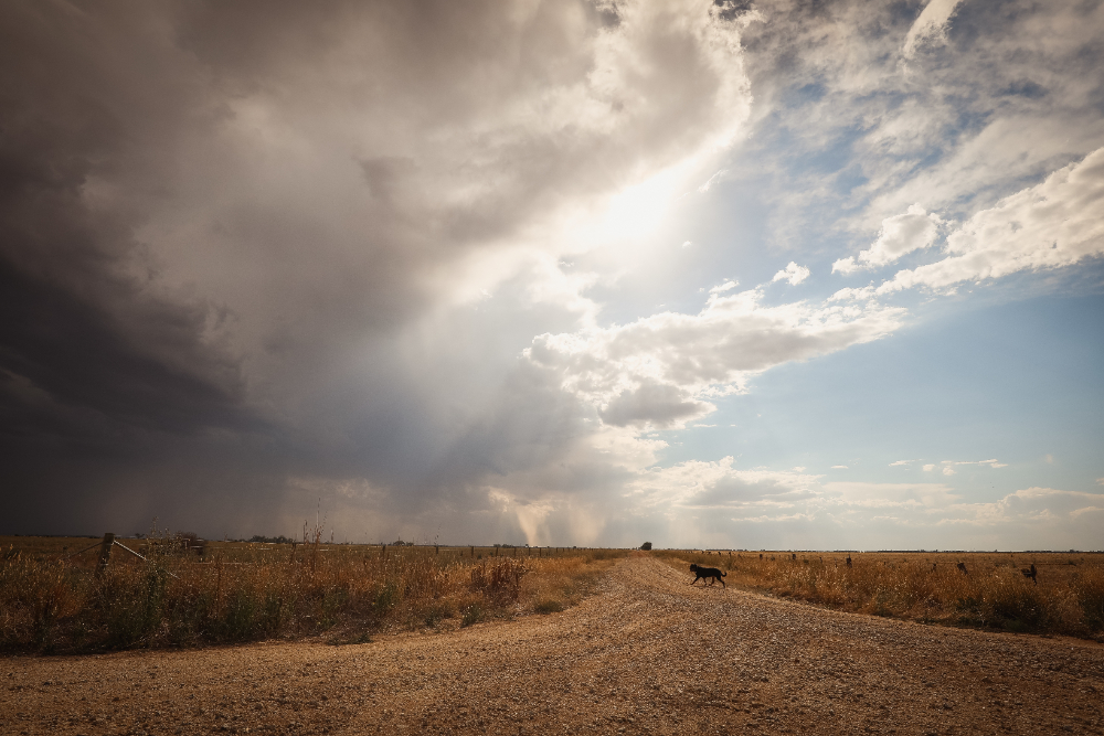
Cold fronts occur when a cold air mass advances and replaces a warm air mass. The cold air undercuts the warm air, causing it to rise rapidly. This often leads to abrupt weather changes like thunderstorms and heavy precipitation along the front.
Great Plains: During the spring and summer months, cold fronts frequently develop across the Great Plains region. These fronts form as cold, dry air masses from Canada move southward, colliding with warm, moist air from the Gulf of Mexico. This collision often triggers severe thunderstorms with hail, strong winds, and occasionally tornadoes.

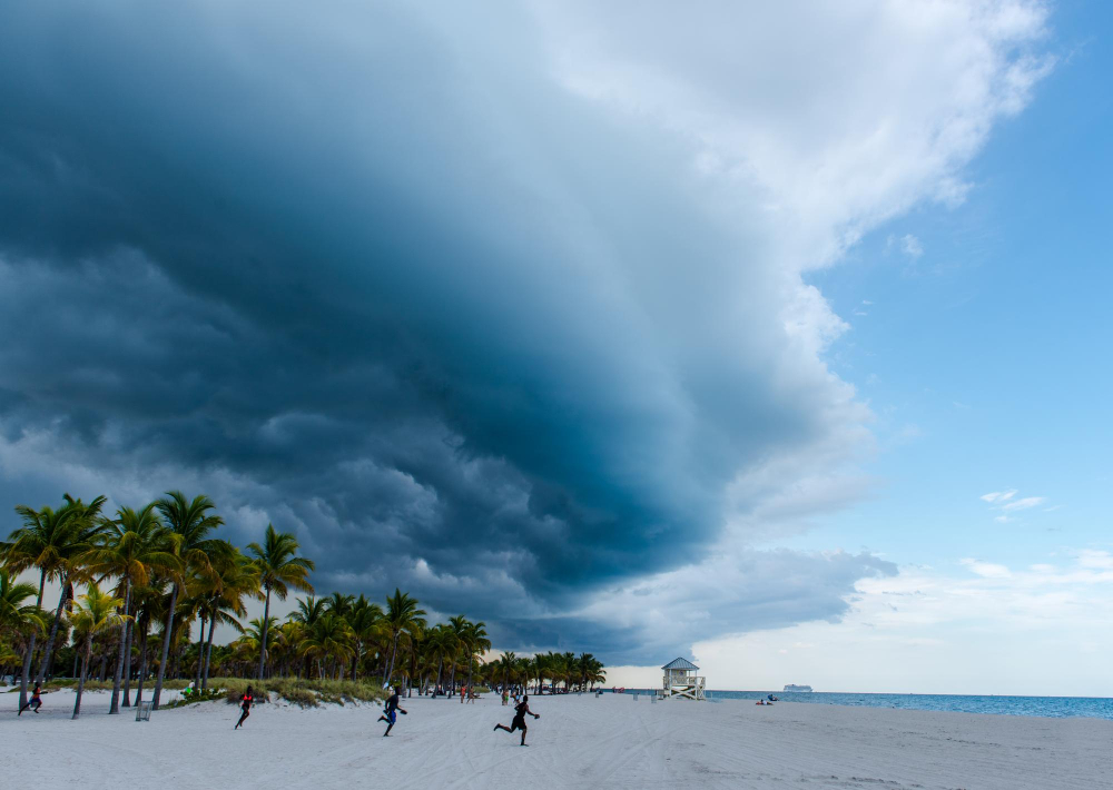
Warm fronts occur when a warm air mass moves into an area previously occupied by cooler air. Warm air rises over the colder air mass, resulting in more gradual weather changes, such as prolonged periods of light to moderate precipitation and cloud cover.
Along the Gulf Coast, warm fronts are frequent throughout the year. They bring episodes of warm, humid air from the Gulf, resulting in periods of showers and thunderstorms, especially during the warmer months.

How to Predict Fronts
Fronts, where different air masses meet bring rapid changes in temperature, humidity, and wind over short distances, strongly affecting local weather.
- 1Rapid Temperature Changes:
Abrupt change in temperature, often signaling shifts in weather patterns.
*Rapid temperature change is the most easily recognizable discontinuity of a front* and signifies the frontal boundary. - 2
Rapid Wind Direction and/or Speed Shifts:
Crossing a front results in a change in wind direction and/or speed. - 3Rapid Change in Humidity:
Rapid shifts in humidity levels, affecting cloud formation and precipitation patterns. - 4
Change in Air Pressure:
A decrease in pressure followed by an increase as the front passes is due to the movement of the boundary between these air masses.
Remember:
It’s a good idea not to fly across cold or warm fronts. Cool and dry air tends to be stable and is best for flying conditions.


